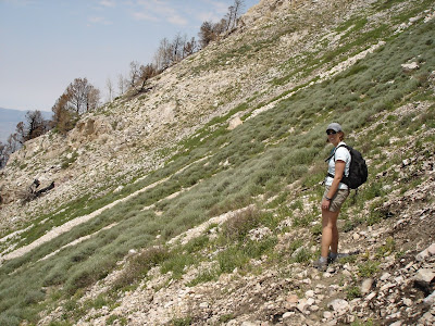
My plan started simple enough...I'd hike Catherine's Pass from Alta and head out to Pioneer Peak from there. Of the peaks surrounding Brighton, that's the only one I had not summited. As I pulled out of the driveway, the plan changed...then it changed again. It finally settled on what I'm calling The Brighton Loop.
I've had thoughts of something like this for a while...so I figured today would be a great test-run. I left the Brighton parking lot at 9:30 and started up the main trail under the Crest Express lift. It didn't take long and several of my goals came into view.

I broke off the main trail where it made the turn towards Lake Mary and started up a combination of ski runs and the access road to the top of the Crest lift. From here I headed up Pioneer Ridge. Once on the ridge, I could see most (all?) of the peaks I would be crossing.

The ridge also provided a great view towards Midway.

As I approached Pioneer Peak, the landscape changed drastically. Where I had been hiking through brush and trees, it was now only sand, rock, and trees...almost lunar.


Once on the peak, I could clearly see the task before me. Had I bit off more than I could chew?


Pioneer Peak did provide some great views of Lake Mary...

...and Brighton Ski Resort.

After a short break on the summit, I started down towards the saddle between Pioneer and Sunset Peak. It took only 30 minutes to go from one peak to the next...I was starting gain some confidence that this might be possible. On Sunset Peak I started to encounter more hikers...but that didn't diminish the views.


From Sunset Peak it's just a short hike down to Catherine's Pass (15 minutes). This was my turn-back point if I needed it. There's a trail from here that goes down to Lake Mary, and beyond that back to Brighton. I took a 20 minute break here, and got ready for the second half of the hike. From Catherine's Pass, it's a steep climb up to the peak of Mount Tuscarora. Once on the summit, I could see there wasn't really that much left.


From the peak of Mount Tuscarora, it's a quick hike to the peak of Mount Wolverine. There are some great views from here into Wolverine Cirque, and down Little Cottonwood Canyon.

From the peak of Mount Wolverine there is no established trail to the peak of Mount Millicent...but that didn't really matter, it only took 30 minutes to go from one to the next. More amazing views from here.

How many peaks is that now?

It's the hike down from the peak of Mount Millicent that concerned me the most. While there is no trail, there is also no dirt...the descent to the top of the ski lift would be on large rocks...that like to move.

Once at the top of the Millicent chairlift, I took a short break.

It's worth another look at the descent from the peak.

From there, it was just a matter of hiking down the access road. (There are trail options from here that take you towards Lake Mary...but I was looking to get back to the car) The access road takes you past the Twin Lakes reservoir.

I've never seen the water this high here before...a great benefit of a good snow year.


The construction on the new base lodge came into view, and I was elated...I had made it. At 5 hours even, I was back at the car.

I have no idea how many miles I hiked today (GoogleEarth puts it at roughly 6 miles)...I really need a GPS for that sort of thing. Maybe we'll have that kind of info later this summer, or in 2009?
Here's a look in GoogleEarth at the route I took:


